
To Flow Both Ways: The Past, Present, and Future of Hudson Waterfronts
OPENS APRIL 30
The Hudson River is one of the most dynamic watersheds in the world. Finding its source in the Lake Tear of the Clouds, the river winds its way 315 miles past countless small cities and towns to its mouth in New York Bay. The Mohican Nation called it Mahicannittuk or “the river that flows both ways” as the Hudson is a tidal estuary all the way up to the first lock just north of Troy, NY.
The river has always been a critical corridor of settlement and cultural meaning. The Lenape, Wappinger, and Mahican peoples all developed a rich river heritage around the Hudson that proved crucial to their way of seeing the word. During European colonization, the river became an essential transportation spine and played a central role in the fight for American independence. In the early years of the republic, The Hudson River School of painting conveyed an idealized American landscape as a manifestation of the pastoral sublime, waiting to be explored and conquered.
During the 19th and 20th centuries, beginning with the opening of the Erie Canal, the river cities along the Hudson became important centers of industrialization. Increasingly, Hudson waterfronts were designed around factories and production rather than human habitation. During this era, the river was largely a utilitarian feature, used for transportation, industry, and waste disposal. The ecological fabric of the river suffered.
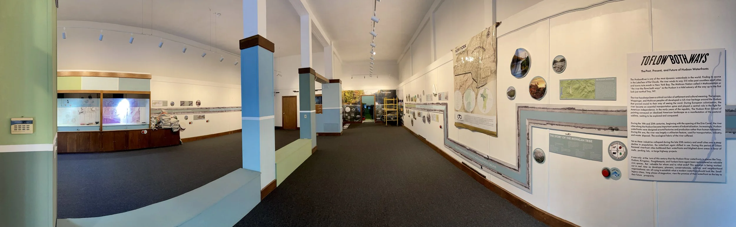
Yet as these industries collapsed during the late 20th century and small cities saw a steep decline in population, the waterfront again shifted in use. During this period of Urban Renewal riverfront cities bulldozed their waterfronts and blighted down areas in favor of malls, parking lots, or large highway projects.
It was only at the turn of this century that the Hudson River waterfronts in places like Troy, Hudson, Kingston, Poughkeepsie, and Yonkers have again been reconsidered as valuable civic spaces. But valuable for whom and to what ends? This question is being worked out in real time as developers, planners, conservationists, activists, and neighborhood organizations are all vying to establish what a modern waterfront should look like. Small legacy cities, long places of stagnation, view the promise of their waterfront as the key to their future prosperity.
But what will that future look like, particularly in this volatile era of climate change? As shorelines become the frontlines for flooding and severe weather, how can these communities develop their waterfronts with both resilience and equity as their core principles? What future Hudson designs can embrace a changing environment while also honoring the river’s rich past?